G’day USA, I think to myself, as I roll across the isolated Roosville border crossing. One thing that really stands out about the journey so far is the people. Of course, the landscape is simply amazing, but I’m more amazed every day how generous the people are here. Amongst all the drama of this leg of the journey, you’ll discover the spirit of these communities is something really special. Something I am a little taken back by and challenged to bring home with me to Australia. Welcome to Montana!
Day 8. Crickets
Distance: 45.5mi / Elevation: 3,269ft / Finish: Flathead River, MT
Full ride data on Strava: https://www.strava.com/activities/589303732
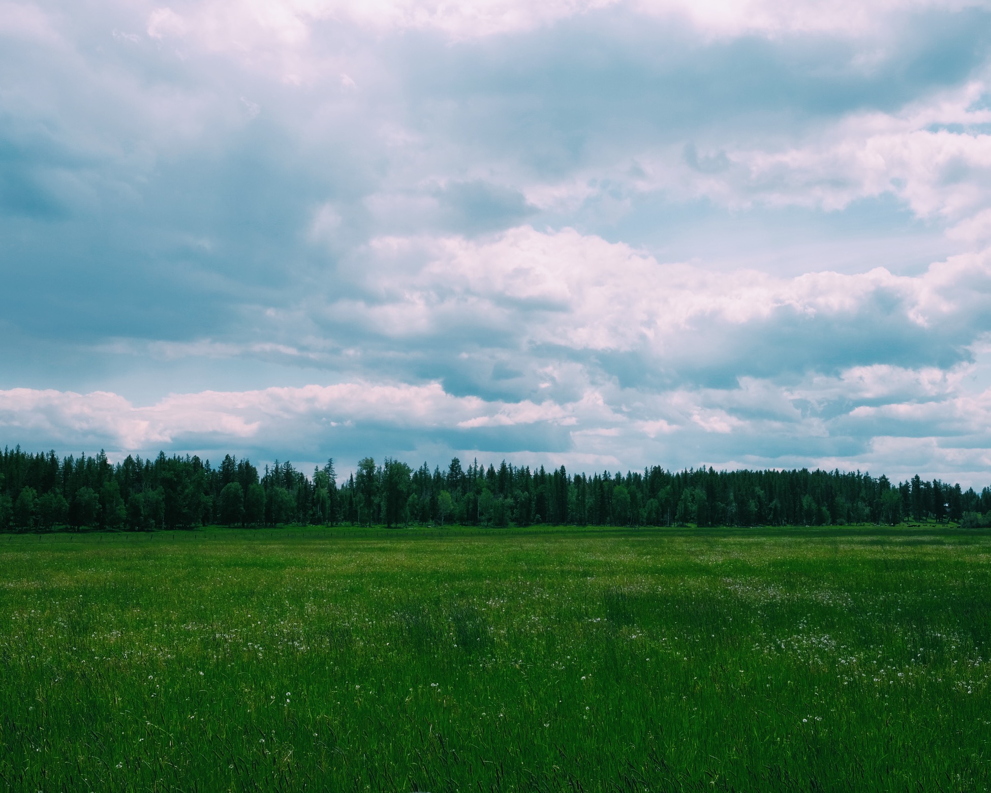
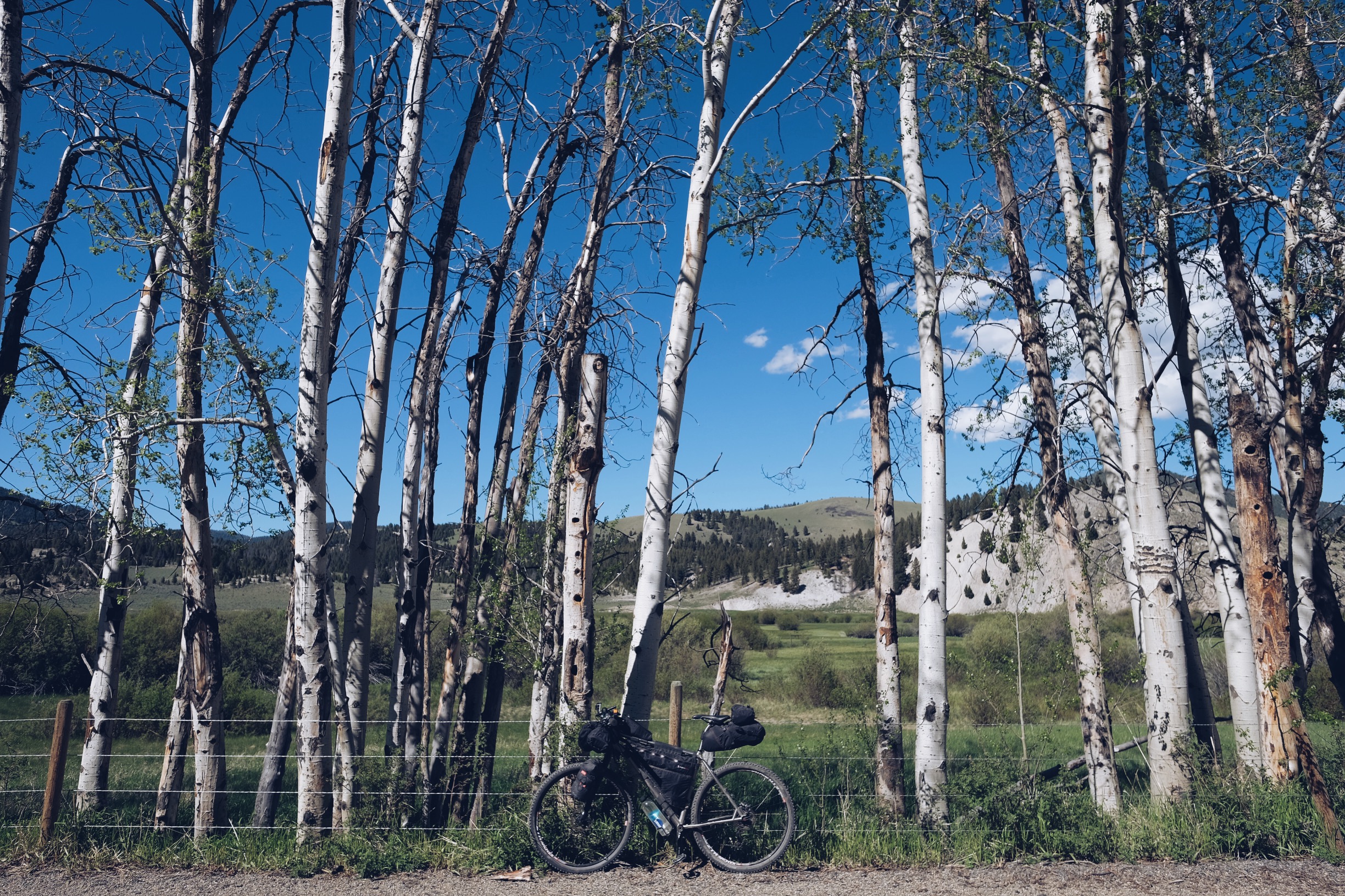
If Montana was a sound it would be crickets, at least in springtime. They populate the lower elevation grassy areas in surprising numbers, they are like a choir as I glide down dirt and asphalt flatlands. The border crossing into the USA is mostly uneventful. I do get asked about going through LA a few weeks ago, seems I’m still getting flagged from the lost passport I entered the country on last year, ugh.
I reach the first camping option quite early, after clearing the first mountain pass of this leg into the USA Flathead region, known as Whitefish Divide.
The campsite is really nice, by the river, whitetail deer wondering about camp. After resting up for some time I decide to push on, the campsite empty, I don’t know what I’ll do with myself for another 7-8 hours until sundown!
It doesn’t take long to roll down some of the elevation and find myself beside the Flathead River headed towards Ford Cabin, which is shown as a camping option on my GPS, but not in the guide book. I pull up here and decide I’ll either camp right beside the cabin, which has toilets outside. Or if someone has booked it I’ll move a little further down on some grass, or perhaps they let me stay with them if I share some dark chocolate. We’ll see.
It’s a pleasant afternoon by the Flathead River which is only a few hundred feet from the cabin. A forest ranger swings by on his rounds, Corey, his quite pleasant and we chat about the area and where I’m headed tomorrow – Red Meadow Lake. Corey mentions there is usually snow on Red Meadow until late June/July while the road is gated, as it is currently, he hasn’t been up to check the snow but says I’ll be able to push through it on the bike. Nobody turns up to claim the cabin so I camp bedside it and Corey is okay with that also. Shame I don’t have the access code for the lock to get inside.
Day 9. Alive in Whitefish
Distance: 43.5mi / Elevation: 2,522ft / Finish: Whitefish, MT
Full ride data on Strava: https://www.strava.com/activities/589303935
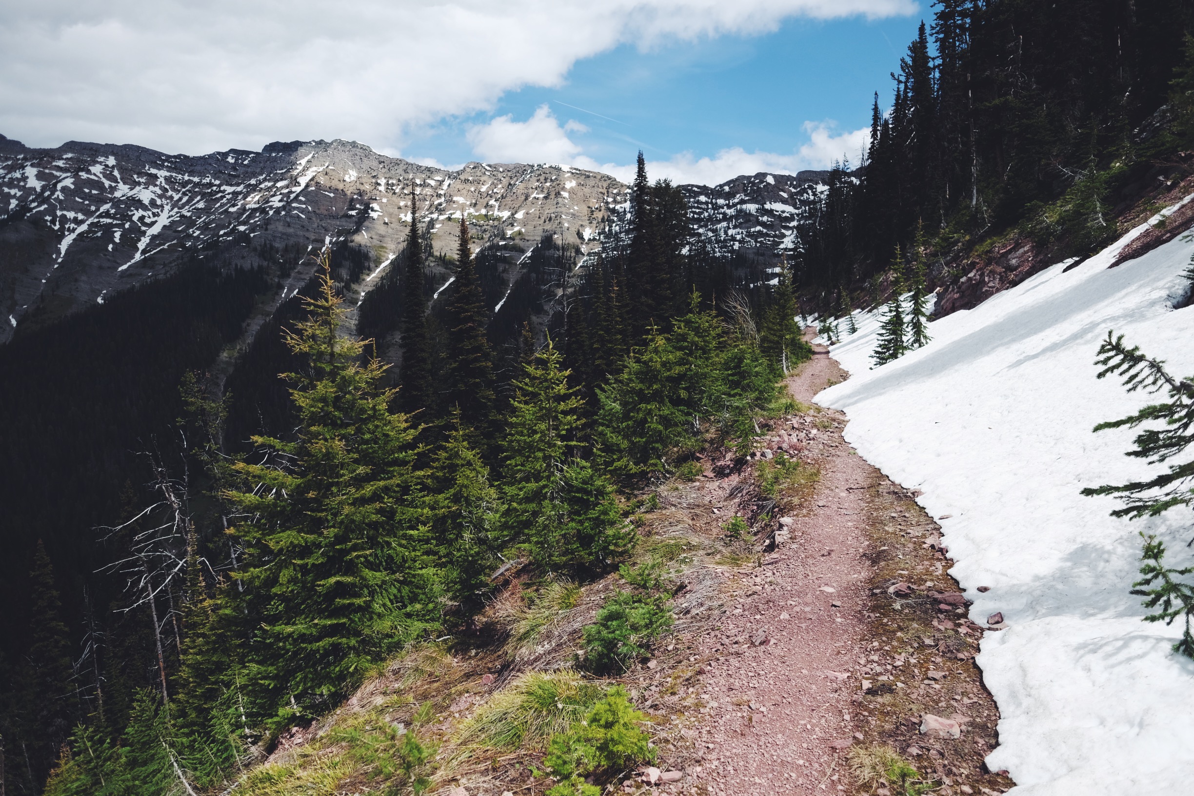
Today was one of my most challenging days in recent memory. I had the pleasure of spotting a White Wolf on the way up to Red Meadow, where I was met with mounds of snow, then long sections of snow and then simply very deep snow everywhere and then add Grizzly prints to follow from the start of all this! I didn’t realise these were huge Grizz print until well into today’s affair. I continue on for hours in much pain, I must lift the bike up and along for each say, half yard movement. The snow is probably 3-4ft deep mostly, with some bigger 6ft+ sections. Wearing only trail runners, my feet go numb well before I get to the top of the pass. There is a small rainstorm and eventually, I’m at Red Meadow Lake. It looks like a giant slurpy of frozen ice and water. There is finally a place I can sit and take a break to warm my feet, it’s the tabletop of a picnic bench, everywhere else is snow, snow, snow. I squeeze all the water from my socks and my shoes inner soles and in the moment of agony and despiration I try calling emergency, 112, even though there is no service, I’m absolutely wrecked and don’t want to spend the night up here even though I’m so tired and maybe want to. I could stay the night as I have food, it would be very cold and miserable and well below zero celcius.
I’m graced by 15 minutes of warm sun and my feet come back to life. As soon as they do, it’s time for a mental readjustment, it’s up to you to get out of this Alex. You have no SPOT tracker to SOS and looking back on the moment, I would not have used it – it was not life-threatening and trying to cal 112 was just stupid. I was just very uneasy with all the animal prints around and this deep snow, if I were to injure myself at this point of my journey I would be in a lot of trouble. So! It’s shoes and socks on and straight into the hauling the bike along the mile or so of the top of the mountain pass. There is a short climb and to my absolute utter joy, it’s downhill from here! No more climbing! Feet are going numb again, so there is not a minute to waste. I push on down hill as hard as I can manage and it’s still surprisingly slow going. This part is even more heavily snowed in as I discover it gets even less sunlight. So on and on it goes, half yard at a time, feet disappearing up to my knee with each step, sometimes I’m using the compressed Grizzly prints to place my feet, sometimes I’m cutting my own path and glancing at the number of wolf prints around. Until it finally begins to thin. But at the same time the grizzly tracks increase, they leave and rejoin the trail many times with cub prints following! Yikes, I shudder. After four hours of snow ploughing, I leave the snow behind and am heading down the next 30 miles into Whitefish Montana, in a downpour! As I roll into town like a drowned rat, I spot the Whitefish Distillery and can see through the glass that it looks warm and cosy. I head in and am greeted by the owners who after hearing the tale of my day shout me a delicious Gin ~ one of their own of course, the also hand me their phone to check on the weather and find a place to stay while a delicious burger and fries are prepared in the kitchen, I regale my phones camera roll with a fire crackling beside me. Such an awesome way to end what was a day that I will never forget any time soon.
Day 10. Zero!
I take a rest day in Whitefish. I decide it would be wise to find a SPOT tracker in town today, which I do, along with an American SIM card for my phone.
I spend the afternoon sampling local brews at the Great Northern Brewing Company Montana. There is a great selection including a seasonal Saison, with a terrible name ‘selfie stick’ it’s delicious though and a one-off Porter. I write and work on the blog in the brewery until late afternoon. Rest day well spent.
Day 11. Zigzag street and the last campsite
Distance: 59.3mi / Elevation: 1,504ft / Finish: Bigfork, MT
Full ride data on Strava: https://www.strava.com/activities/591327668
I hear from a few people in town that the going-to-the-sun road in Glacier National Park, is really worth checking out on bike. So, I decided to take a detour to West Glacier and see for myself. Well, I nearly got there before deciding that I was absolutely loathing the busy highway roads with little to no shoulder to cycle along safely. I have one close call with a vehicle towing a caravan while crossing a bridge which really sends a shiver down my spine. Everyone in town has been raving about this going to the sun road but to get there it wasn’t an enjoyable experience. I believe this was due to the long weekend for Memorial Day, there was just so much traffic about it made for a rubbish cycling experience on the roads sadly. Ironically, after turning back I later find that much of the road is actually closed while snowploughs clear the pass over the next month or so. Alas off to the next stop at Bigfork.
I find myself zigzagging through a patchwork of land, farms, ranches and the ever-present crickets chirping away in the fields as i find my way into a bustling Bigfork. There are huge event banners draped across the streets, people swarming about, food vans… turns out there is a rafting festival on. Yikes! I claim the very last campsite in town which is right beside this beaut lake with a sunset view. Finally another evening without rain! I watch the first sunset of my trip as it goes through many tones until it is cold and I scoot back to my tent.
Day 12. Rapids and the people of Montana
Distance: 36.4mi / Elevation: 3,300ft / Finish: Cedar Creek, MT
Full ride data on Strava: https://www.strava.com/activities/593347085
I spend much of the day in Bigfork. Lots of quirky shops and nice places to eat and get coffee. Today was the finals competition for the Annual Bigfork Whitewater Festival.
I spend a few hours at Big Rock, close by the rapids, watching the first few competitors with a healthy crowd before heading off after some time and onto a very long climb and what seemed an even longer downhill, perhaps the longest freewheel I’ve rolled in my time cycling. Exciting!
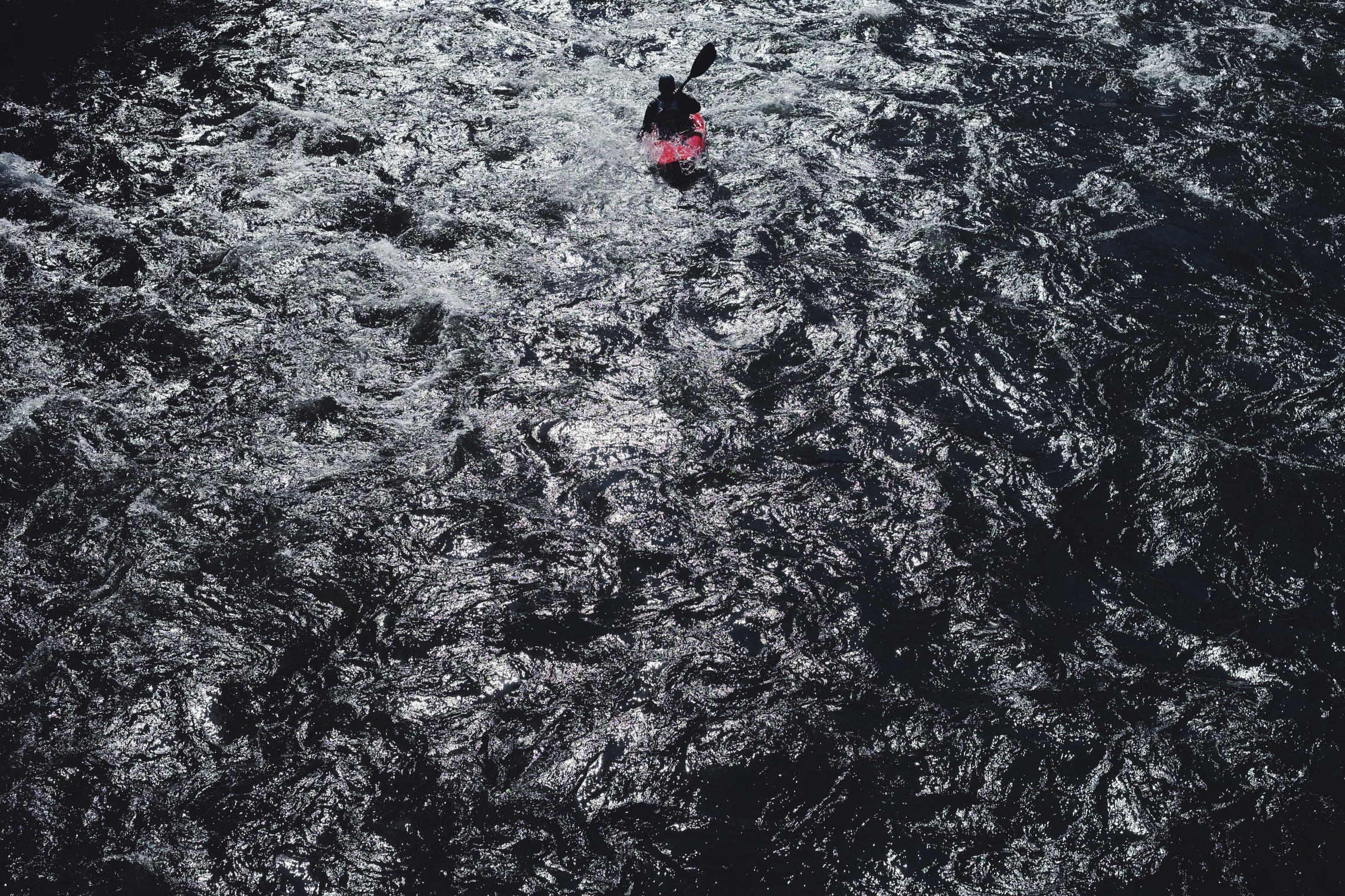
I encounter a fair few thunder-showers today, the rain jacket came on and off quite a bit before arriving at Cedar Creek Campground in light rain. Shortly after I arrive, two rafts are pulled out of the water. They had been riding the river and stopping to fish along the way for the past 3 hours. “How’s the biking?” I’m asked,” It’s a little wet huh… You need a beer! Here…” Haha, “okay then!” I say. I chat with the rafting crew for quite some time, whilst two of their crew fetched the second car from upstream where they put in. They are locals from Bigfork, before they departed I was handed a half sandwich and a second beer for later, plus some lip balm for my chap lips! Super kind people! Camping by the riverside was really nice, nobody else around tonight so I’m entertaining myself with episodes of Fargo once again. I think to myself, John Muir would not be impressed with my digital entertainment.
Day 13. It’s a bear over there!
Distance: 39.9mi / Elevation: 3,215ft / Finish: Holland Lake, MT
Full ride data on Strava: https://www.strava.com/activities/593346930
First bear sighting! Little brown fella scampered off into the bushes as I was riding up a climb today. Thinking it was a cub catching up to momma. I ride the next 20 minutes with the bear spray in my hand as there was some fresh black bear scat about after this. A lot of climbs and descents, sections of narrow single track (where I spotted the bear) and finally wide gravel roads lead into the stunning Holland Lake!
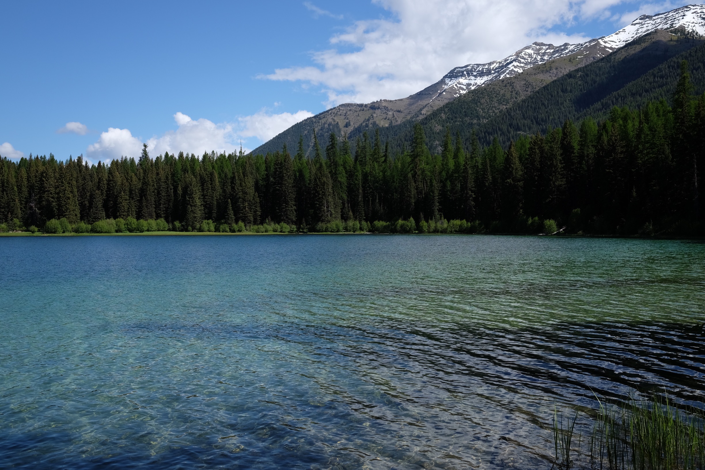
With snow capped mountains behind the campsite it’s a really nice spot to spend quite a few hours of the afternoon in the sun with the chirping of birds and a dip in the water.
Day 14. All of the lakes
Distance: 46.2mi / Elevation: 3,891ft / Finish: Seeley Lakes, MT
Full ride data on Strava: https://www.strava.com/activities/594476388
Just out of Holland Lake and there is a great morning tea spot mentioned in the guidebook, Clearwater Lake. I can confirm, the water is very clear, with trout buzzing around and one of the locals there fly fishing and also doing some water quality testing.
We chat for some time and I move on today across another pass and into another section of snow! This time the snow is a much harder packed than what I encountered earlier on Red Meadow Pass, less like a slurpy drink, so the hike-a-bike is mostly a breeze apart from falling into a hole up to my thigh on one occasion and getting a little off-piste.
The depth of the snow lead me astray heading further up a ridge rather than down on a lower path, few hundred yards later I was way up above the trail and began a very precarious self directed switchback descent to the trail once again sliding my way down a very steep and loose slope.
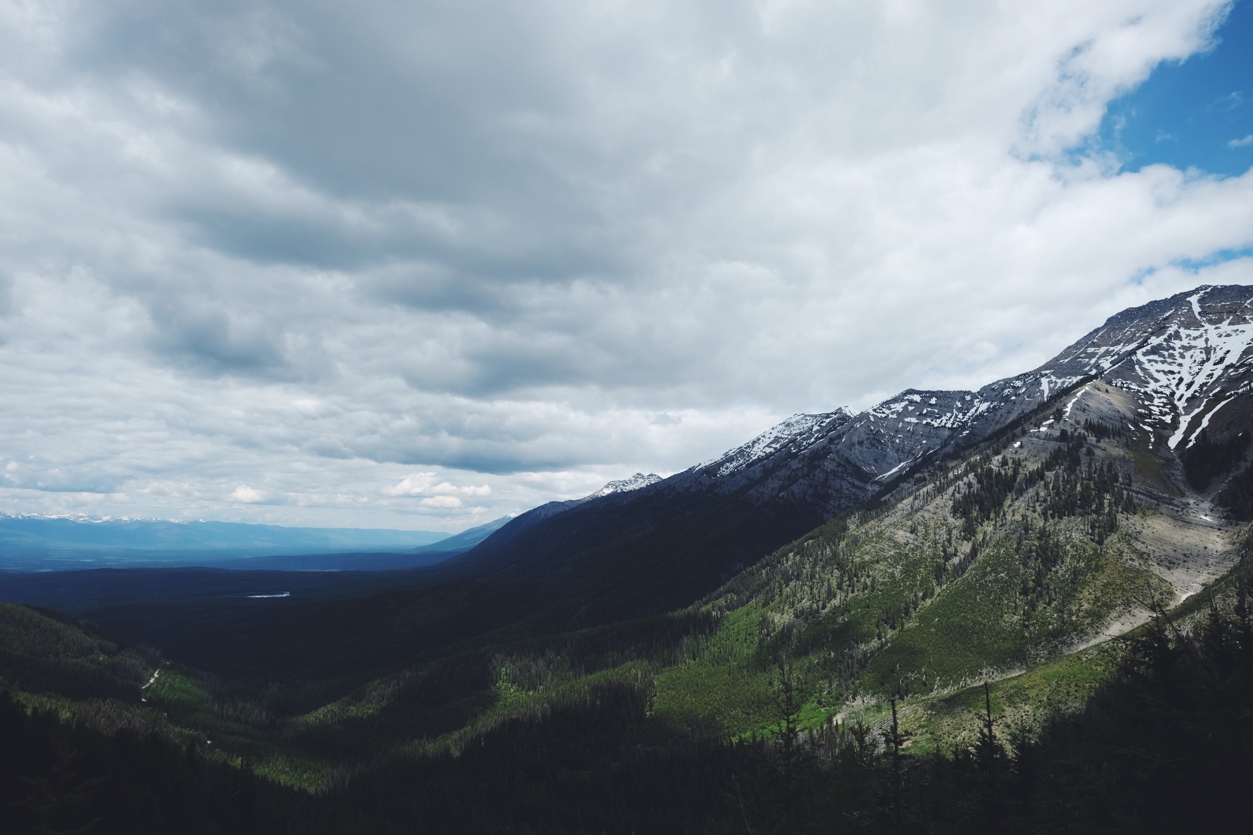
Today is particularly pretty with spectacular views of the Grizzly Basin, no sightings though.
After another endless downhill I’m arriving at yet another Lake, Seeley Lake, which Clearwater Lake feeds into. Pretty cool following this system right through the day.
Day 15. Up, up, up
Distance: 69mi / Elevation: 4,646ft / Finish: Lincoln, MT
Full ride data on Strava: https://www.strava.com/activities/595564404
Leaving Seeley Lakes today I’m off following streams, lagoons, up hills, on open plains and it’s very warm for a change! A bit of flat open plain riding today in some crosswinds, with signature Montana crickets playing along the roadside.
Another flat tyre today, the cut in my tire has sucked up a piece of gravel. Looks like the past two rear flats have be my own fault not putting a tyre boot in to save the tube from any more damage. I fix this up and continue on with crickets in tune arriving at the turn for Big Neilson Campground just after midday and feel like I’m up for an afternoon of riding.
Alas it was more an afternoon of pushing, as the climb over Huckleberry Pass is very demanding and seemingly endless! I roll gingerly into the next port of call, Lincoln, tired and hungry with this being the biggest day I’ve cycled yet, perhaps in fact ever! Straight to the grocery store to eat all the things and then camping beside a natural spring at Lincoln RV Park. I have my first cycling company, with a road cyclist riding Coast to Coast across the USA. It’s nice to finally chat to another cyclist after two weeks on the road!
Day 16. Epic hills & epic hospitality
Distance: 67.7mi / Elevation: 6,013ft / Finish: Helena, MT
Full ride data on Strava: https://www.strava.com/activities/591327668
Huge mountain passes, rough chunky gravel roads and an endless freewheel into Helena, MT. I missed a few turns today which meant I rode a little more than expected, a little higher also. Edging over 7,000ft at one point today.
I stop and speak with a CDT section hiker who is working on the triple crown towards 10,000 trail miles, so awesome and his retired! Getting to the first possible camping option in Helena National Forest quite early in the day, after a lay down, a little food and reading ahead of the route in the guide I decide to press on to Helena, the capital of Montana.
Coming across some stunning valleys and old mining setups on the way into the big city via another huge freewheel. I once again head straight to the grocery store and eat what I already have packed, a huge amount of ham and grab a sports drink and a tub of yogurt. All consumed I start to pack my things when Don, a local resident, asks me a few questions about my trip so far and bike setup. Turns out he is planning to do a section, possibly with his wife soon. Before long he offers me a place to stay with his wife Jacque! So great! Don has a similar bike setup he is putting together and a great home thats mostly renovated. As he put it 🙂 I get a second dinner and we chat into the night. The shower I take is oh so good, the best since I left home. It takes me quite awhile to get to sleep, in such a big bed the novelty of tossing and turning and having room to move feels odd! Laying on a sleeping mat a little wider than your body in the cool of the night is very different experience.
Day 17. Finally another zero!
After a great slumber I get a yum breakfast, eggs, hash brown and toast with my hosts who don’t let me lift a finger. I try my first peanut butter and jam on toast, it’s great! Why are we not doing this back home I do not understand 🙂 today I spend ticking off my todo list and wondering streets like this.
Visit the barber for a trim, whoop… No more food clogging up beard hairs, stop into bike and outdoor shops for a few items, the bakery, breweries and more blogging catchup. It’s a big day walking around town and I finish it with swollen legs, yikes, feet up the rest of the night.
Day 18. Huuuuuge
Distance: 45.9mi / Elevation: 5,903ft / Finish: Mormon Gulch, MT
Full ride data on Strava: https://www.strava.com/activities/599518815
After a morning of delicious secret recipe pancakes by Don, he rides with me out of town for a few miles up Grizzly Gulch to send me off on one of the tougher sections of the divide tour. The end of the long and very warm day sees a huge amount of climbing over only 46 miles (74km).
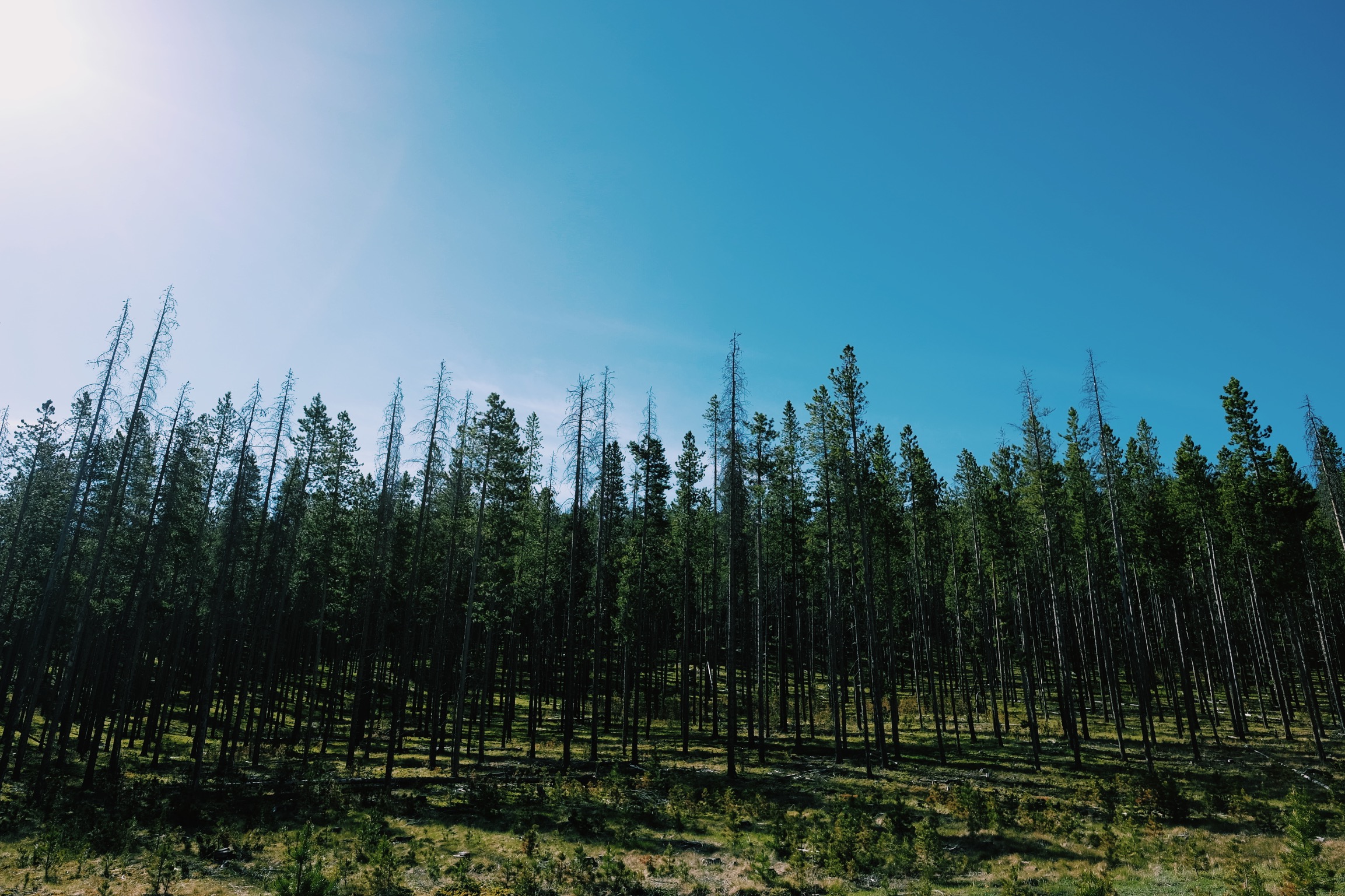
Stunning Lodgepole forests lined much of the higher elevation along the route.
Past the forested sections the scene changed to more dry and open. The top section of track however was more like participating in a track walk on a UCI Downhill World Cup event, super gnarly ruts, shoots, drop offs, untouched raw rock gardens, sections with b-lines and loads of elevation change. Ideal terrain for thru-riding on an Enduro sled, not a safe place on a rigid bike-packing 29er though! It’s 7,600ft (2,335m) at the top!
I arrive at the campground and hide in a small amount of shade as it is burning in the heat and do my best to laze around for a few hours in the shade before setting up camp with everything ready for an early start to beat the heat tomorrow.
Day 19. Butts in butte
Distance: 33.9mi / Elevation: 2,184ft / Finish: Butte, MT
Full ride data on Strava: https://www.strava.com/activities/599630910
Continuing into Butte, MT today.
Ironically my butt is sore, had a good run so far with few riding pains. Butte (pronounced ‘byoot’, like beaut-iful) is dry and hot and void of shade. Honestly, where are the trees! A big open cut mine is visible on the left as you follow the route over the last small climb into town. I get into town and hit the grocery store (again), it seems to be the first thing I do when arriving in town now 🙂 big carton of OJ, some yogurt and I eat the food I need to finish off which I’m already carrying outside the store. I touch base over text with my Helena hosts relatives in Butte, MT and am welcomed and treated super well for a drop-in guest 🙂 the friendly hospitality I’ve received so far on this journey has been just amazing. It actually reminds me of how Mum used to invite people over all the time, people she met at the grocery store, people like me!
Day 20. Oh… ouch
Distance: 9.6mi / Elevation: 424ft / Finish: Roadside rest area!
Full ride data on Strava: https://www.strava.com/activities/601029636
I don’t make it 10 miles out of town when I find myself in agony and gasp… taking photos of my bum to see what the pain is in a park bathroom. I try to continue on but it’s just too painful and there isn’t much ahead where I might get help over the next week. So I limb back in to town and lay down in a park for awhile and work out what to do. I have insurance for anything that goes wrong, so I decide to go see a doctor so there is a record of what’s going on if it doesn’t clear up quickly! I see Dr Webb, who knows all about the route I’m riding as his a cyclist himself, I mention I have insurance but still he covers the fee for my visit and then again at the pharmacy I find out his paid for the prescription I have! Crazy! The people of Montana have been just incredible! My hosts last night kindly take me in for the night, Janet makes pizza from scratch for dinner and I pickup a few gourmet items from the grocery store to thank them!
So for now I’ve made it to Butte, MT and am resting up with just over 700 miles of the route done. My incredible friend Don in Helena drove to pick me up in Butte and stay with him and his wife for the week until I’m good to get back on the road again, talk about absolute legends! I really am at a loss for words. Thanks Don! Pictured here re-stringing a 1920s mandolin. Talk again soon when I’m pedalling!
Again, if you want to support NEURA or simply learn a little about early on-set dementia and how to support people and not attack their behaviour, jump over to https://give.everydayhero.com/au/mental-for-miles#/ thanks legends!


